Company History
Geosensors was founded in 1999, specialising in the development of novel airborne and ground-based high-resolution, quantitative sensor technology, and its application to EM soil property measurement and mapping; EM depth sounding and inversion techniques; detection and characterisation of small conductive targets, and electromagnetic sea ice measurement from airborne and surface-based platforms.
Over the last decade, we have intensified our focus on the performance and usability of our hand-held and towed ground conductivity sensors, and have introduced a new R-Series line of cost-effective, all-coplanar geometry sensors to complement the long-standing and very successful Dualem dual-geometry sensor family.
Gallery

DualEM-21 with clamps and legacy handheld power supply/user interface

DualEM-21 on a hand pulled sled

Dualem-421 sensor on raft

Dualem 642 sensor on cart

Dualem-421 sensor on raft

Dualem 642 sensor on cart

DualEM-642 on cart

DualEM-642 on cart

Dualem-642 sensor mounted in transverse orientation on cart

Dualem-421 base segment on light-duty sled
R6 Sensor in towed survey (Photo courtesy Ryan North)

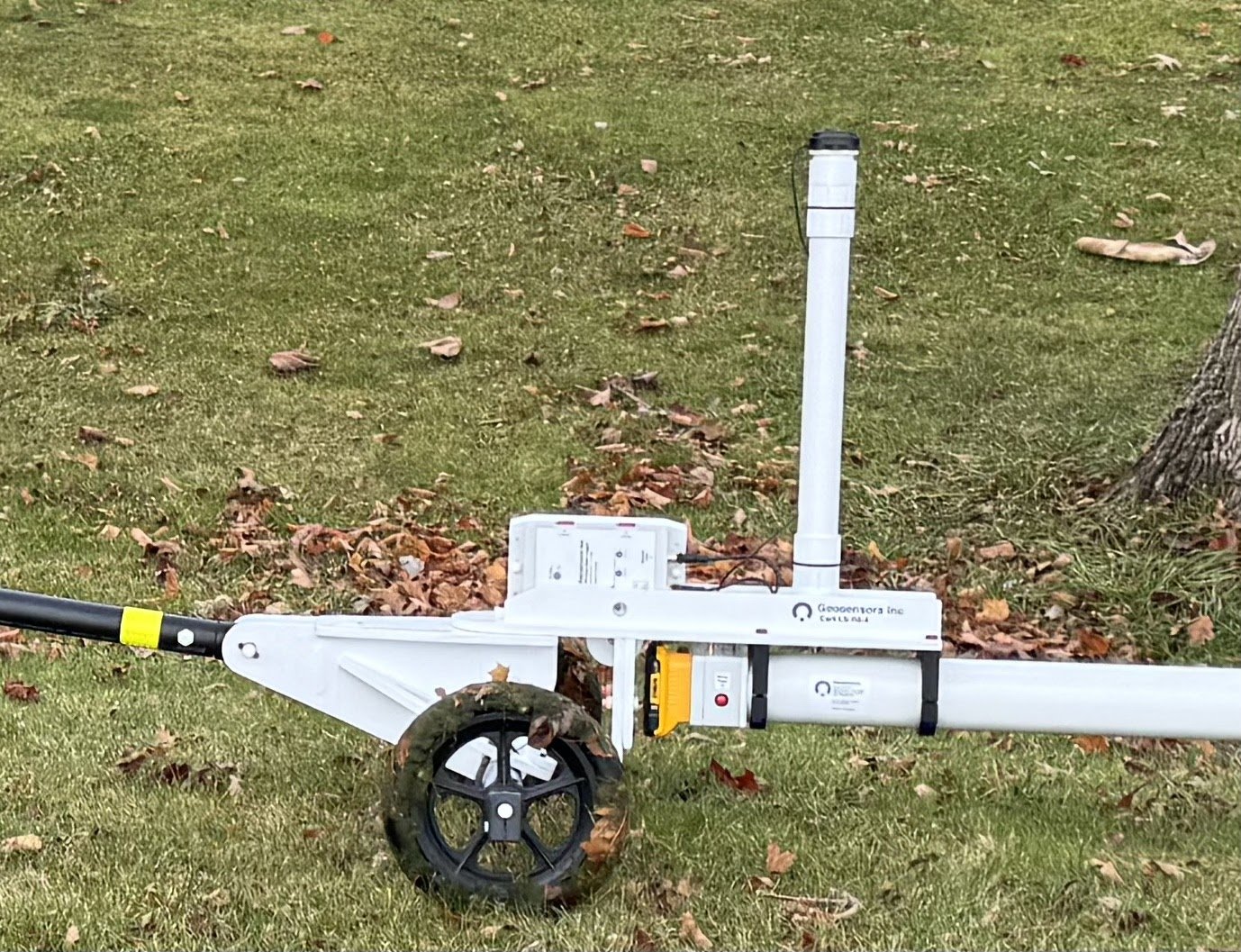
R6 on Cart-3

R6 Sensor on Cart-3 "Narrow Configuration"
R6-4 on Cart-3. (Click for video)

R6-4 sensor on Cart-3
R4 Sensor with Snap on Battery Adapter and Serial Monitor
R4 Sensor with Battery Pack and Serial Monitor #2

R6 on Cart-3 (Photo courtesy Jeremy Menzer, Cultural Resource Analysts, Inc.)

Gent University 3-sensor R6 array data sample: Upper: ECa at 0.5, 1.5 and 1.95m separations Lower: MSa at 0.5, 1.5 and 1.95m separations (Courtesy Prof. Philippe De Smedt, Gent University )

R6 on Cart-3 (Photo courtesy Jeremy Menzer, Cultural Resource Analysts, Inc.)

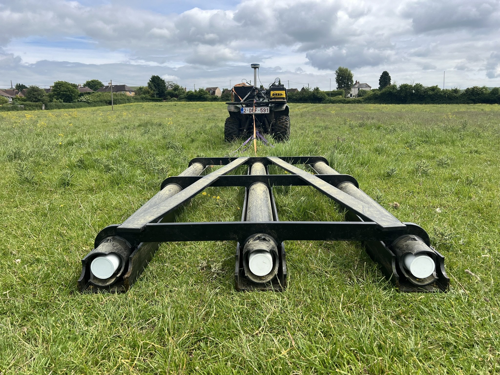
R6 3-sensor sled (Photo courtesy Prof. Philippe De Smedt, Gent University)


